
 California Highways:
Click here for a key to the symbols used. An explanation of acronyms may be found at the bottom of the page.
 Routing
 Post 1964 Signage History
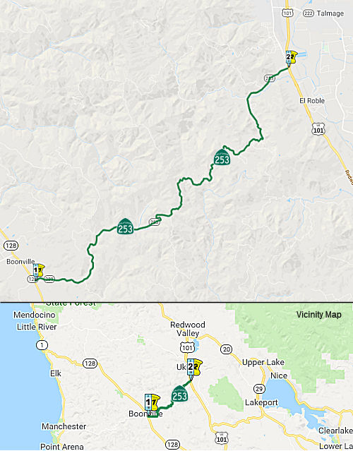
This route was added in 1963 by Chapter 2155 as “Route 128 near Boonville to Route 101 near Ukiah.”.
There were plans for a new alignment for Route 253 running north of the
existing Ukiah-Boonville Road when it was added in 1963, but when the
improvements to the Ukiah-Boonville road were completed, that road was
adopted instead.
(Source: Gribblenation Blog (Tom Fearer): California State Route 253, March 2021)
 Pre 1964 Signage History
This route was not part of the state highway system before 1963. This is "Ukiah-Boonville" Road.
The route started its existence as the Anderson Valley Trail in 1851. In
1868, John Gschwind got a bill through the legislature authorizing the
Mendocino County Supervisors to grant the right to construct a toll road
over the Anderson Valley Trail Route from Boonville to a point where the
Anderson Valley Trail intersected the state route in Ukiah Valley. It
continued as a toll road, primarily transporting lumber, until the late
1800's and was adopted into the Mendocino County system in 1896. A
contract was let in 1896 for a 10' width roadbed and a 35' minimum radius
curve by the Mendocino County Supervisors. The road continued on
essentially the original location with minor improvements until 1952.
Mendocino County began improvements to the route in 1953 under the Federal
Aid Secondary program. It was added to the state highway system in 1963,
upon completion of the final improvement contract.
(Source: CHPW, July/August 1966)
 Status
In August 2011, the CTC approved $1.54 million to repair two slipouts near Boonville, from 4.1 to 4.3 miles east of Soda Creek Bridge, that occurred in the winter of 2005-2006 and to build a retaining wall.
 Other WWW Links
 Statistics
Overall statistics for Route 253:
 Pre-1964 Legislative Route
In 1959, Chapter 1062 defined LRN 253 as:
In 1959, Chapter 1841 added the condition “Construction on either portion of [LRN 253] described in subdivisions (a) and (b) may be commenced when the City and County of San Francisco has acquired all rights of way necessary for the construction of such portion and has conveyed these rights of way to the State of California for highway purposes.”
In 1961, Chapter 1010 reworded the construction amendment: “Notwithstanding the provision of Section 89 of Chapter 1062 of the Statutes of 1959, construction of any or all portions of [LRN 253] may be commenced at any time, if the City and County of San Francisco has has conveyed or does convey to the State of California, without charge, all real property presently acquired by it for the construction of such route or portion thereof.”
This route was signed as follows:
This is the I-280 "Southern Freeway" through San Francisco. At times it was considered an extension of the Embarcadero Freeway (Route 480)
This is also part of I-280.
© 1996-2020 Daniel P. Faigin.
Maintained by: Daniel P. Faigin
<webmaster@cahighways.org>.
 From Route
  Route 252
 Route 254